When a Coastal Map Makes Every Route Look Equal
A coastal map can flatten distinct routes into similar lines. Learn how to read scale, surface, and route type before choosing a way to the water.
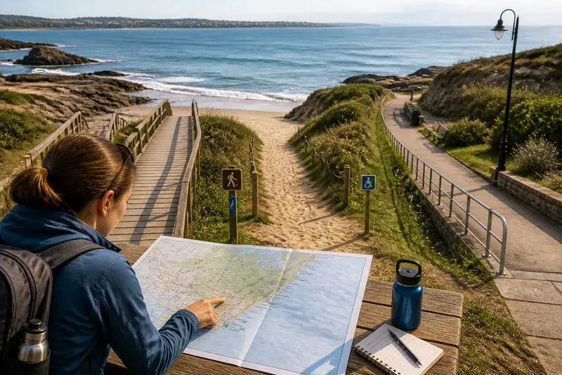
Which route to the water will actually work for you? On a coastal map, a narrow boardwalk, a sandy beach crossing, and a paved promenade may all appear as similar lines. That coastal map can show where paths run without showing whether they make comparable journeys.
The useful question is not simply which line is shortest. It is what kind of route the line represents, what its surface asks of a traveler, and how much detail the map can reasonably show. Sort the map by your situation, then treat its lines as clues to check rather than promises about the ground.
Start with the map’s purpose
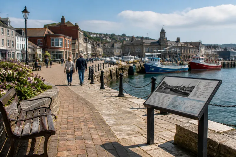
Maps are selective. A visitor map may emphasize named attractions and public paths. A navigation map may prioritize connected streets. A local access map may mark entrances, ramps, or restricted areas. Those choices shape what appears as a route and what disappears from view.
Look for the map’s title, legend, publisher, and intended audience. A dashed line might mean a trail on one map and a boundary or proposed connection on another. A line drawn to the shoreline may end at a viewpoint, a seawall, a beach entrance, or simply at the mapped edge. Its appearance alone cannot settle which.
Also check whether the map distinguishes public routes from private property, seasonal paths, or service access. If it does not, the line may show physical continuity without showing that the public can use it. A route is not public merely because it has been drawn.
If distance is your concern
If you are comparing how far two options go, inspect the scale before comparing their drawn lengths. At a broad scale, a map can show the overall shape of a bay or neighborhood but compress bends, crossings, and detours. At a more detailed scale, those features may become visible, though even a detailed map may omit small barriers.
Measure along the path rather than in a straight line between your starting point and destination. A coastal route may curve around a wetland, follow a seawall, or enter the shore from a distant public access point. Two lines that seem equally long on a small map can involve different amounts of actual walking.
Use a map with a distance scale or a route tool that follows mapped paths, then check the route’s endpoints. A line that appears to reach the water may stop at a bluff or fence. Look for a marked beach entrance, stairway, ramp, or public landing that connects the route to the place you mean to visit.
If you are planning around time rather than distance, do not assume a mapped path implies a steady pace. Sand, stairs, narrow turns, and crowded approaches can change how a journey feels. A route description or a larger-scale local map may reveal more than a clean line on a regional map.
If the surface matters
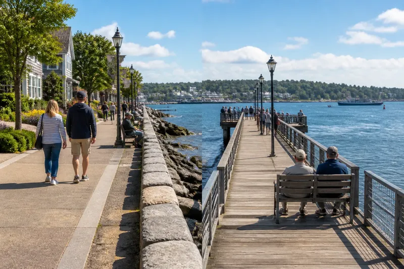
If you need a firm, predictable surface, prioritize maps that name paved paths, boardwalks, ramps, or accessible routes. A general trail line may include compacted gravel, loose sand, exposed roots, or a short stretch of uneven ground. The symbol may record continuity, not surface quality.
Look for an accessibility legend and read its terms carefully. A route marked accessible may still have features that matter to you, such as a steep approach, a narrow gate, or a surface that changes near the shore. If the map does not describe those details, consult the managing park, town, or waterfront organization for current route information.
If you are traveling with a stroller, wheelchair, cane, or rolling bag, consider the entire journey, not just the main path. The route from a bus stop or parking area to the entrance may use a different surface from the route beside the water. A smooth promenade does not help if the connection to it is sandy or blocked.
Say you are taking a stroller to a beach overlook, and the map shows a paved promenade connected to a beach trail. If a larger-scale map marks that connector as soft sand, the promenade may still suit your walk, while the trail may not suit the stroller. You could instead look for a ramp to the overlook or contact the site manager about the connector’s current surface.
If you need a clear connection
Some maps show a route network as though every line joins neatly. In practice, a connection can require crossing a road, passing through a gate, using stairs, or walking along a narrow shoulder. Zoom in around junctions and crossings. A small gap between lines may signal an unmarked transfer rather than a continuous public path.
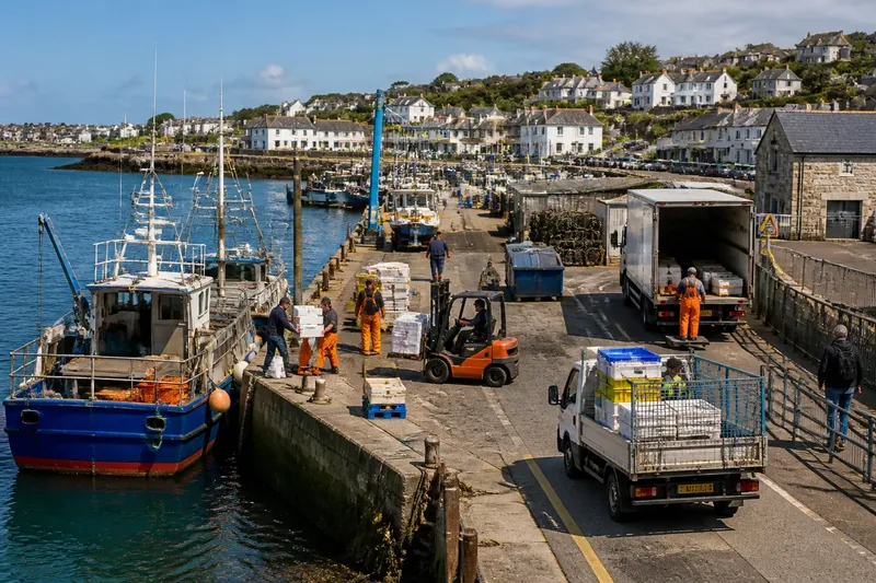
Pay special attention to routes that meet water infrastructure. A path beside a seawall may end before a harbor gate. A public trail may run near a ferry terminal without reaching its passenger entrance. The map’s line can communicate proximity, not direct access.
For a route with several links, trace each one: the approach from your starting point, the waterfront segment, and the final connection to the destination. If one link is unclear, search for a second map from the local government or site operator. Different maps may label the same entrance differently, so match landmarks and street names rather than relying on line color alone.
If conditions can change
Coastal routes are exposed to conditions that a static map may not capture. Tides can cover low paths, storms can damage a boardwalk, and construction can close an entrance. A map may remain visible online after an access point has changed, especially if it is not maintained by the organization responsible for the site.
For a route near the waterline, check local tide information and any posted closure notices. For a path through a park or harbor, look for updates from its manager. If a map labels a route seasonal or shows a gate, treat those markings as clues to confirm access before setting out.
Where local rules, site notices, or route conditions differ from a general map, follow the current information from the responsible authority. That matters especially around working waterfronts, where a path may pass near active operations or restricted areas.
What should you check?
What does the line mean?
Read the legend and map notes before treating a line as a public walking route. If its type is unclear, look for a second local source or a named entrance that confirms the connection.
How detailed is the map?
Use the scale and zoom level to judge what features may be missing. A broad map can orient you to the coast, but a local map is better for locating turns, crossings, and access points.
What is underfoot?
Search the map description for paving, boardwalk, gravel, sand, or stairs. If the surface is not named and it affects your trip, ask the site manager rather than reading certainty into the symbol.
Is the route open now?
Check current notices for closures, tide exposure, or temporary work. A route’s presence on a map does not establish that it is open on the day you plan to use it.
Choose by your situation
For a quick orientation, a regional map fits: it can show the shoreline’s broad shape and help identify nearby places. Use it to narrow down options, not to decide whether a particular path is smooth, public, or open.
For a route where surface or mobility access matters, choose a detailed local map with access symbols and written descriptions. Confirm missing details with the park, town, or waterfront operator, especially for the connection between the arrival point and the path.
For a route near the waterline or through an active waterfront, pair the map with current local notices and conditions. A mapped line is most useful when you know what it represents and what it leaves out. Read it that way, and the coastal map becomes a better tool for choosing a journey that fits the place and your needs.